
UAS: Drones in TAK
In TAK, a drone is one more member of the team on the map. Everyone sees where it is, what its camera sees, and what it mapped, on the same picture as the crews, the vehicles and the incident. This page covers the whole drone side: flying from ATAK, bringing drone fleets into the common operating picture, turning drone photos into maps, and the airspace around you.
01 Fly from ATAK: the UAS Tool
The UAS Tool plugin connects ATAK to the aircraft. Install ATAK and UAS Tool on the drone’s own controller, for example a DJI controller, and the pilot flies with the TAK map in hand:
- The drone, its sensor point of interest and its footprint go on the map for everyone on the TAK Server.
- The video comes with it, with augmented reality: map items drawn into the live picture.
- Quick flight tasks from the map, and Data Sync to share the mission’s items with the rest of the incident.
DJI, Parrot and Red Cat all list UAS Tool support. See the drone makers on the Links page.
02 See what the drone sees
Drone video is geospatial video: it carries where the camera is and where it is looking, so TAK places it on the map. Augmented reality (AVO, SmartCam3D) goes one step further and draws your map into the video. And infra-TAK deploys the video server the drone streams to.
03 Drone fleets on the common operating picture
Agencies that run drones through a fleet or dock platform can bring every aircraft into the picture at once. In CloudTAK, these ETLs and plugins pull drone positions, and some pull video and alerts, from the platform’s own API. All free, with the source on GitHub. More on the CloudTAK page.
04 Turn drone photos into maps
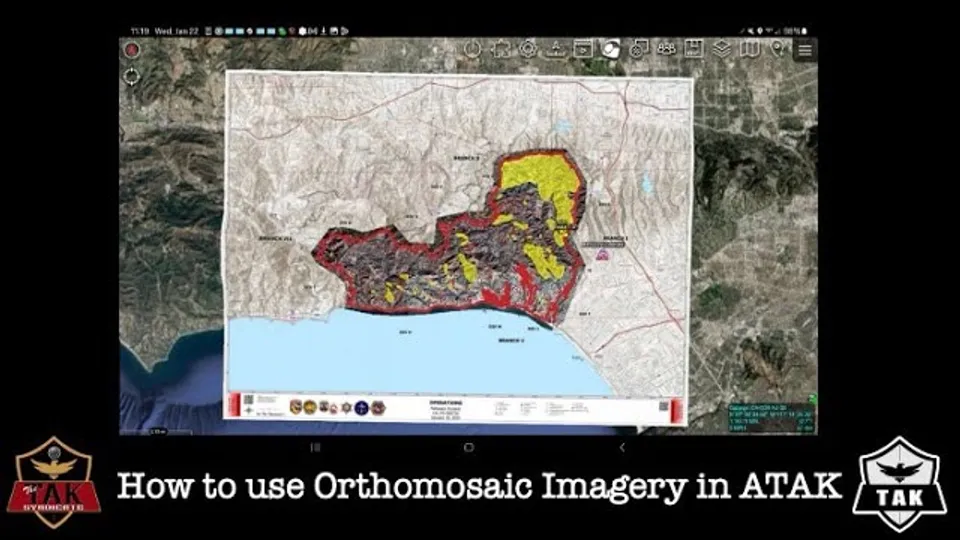
A drone can map a fire, a flood or a search area in minutes, at a detail no satellite image has. The result, an orthomosaic, goes into TAK as a map layer everyone can see.
- WebODM in infra-TAK. infra-TAK deploys WebODM, the open-source drone mapping app, with the TAK Incident Overlay plugin: upload GPS-tagged drone photos and an incident name, and get back a georeferenced overlay ready for TAK. It also hosts 3D photogrammetry tiles with Cesium.
- Make it small enough to share. A full-size orthomosaic is too big to send to phones. Map Compressor shrinks large GeoTIFFs and orthomosaics into small, see-through overlays for ATAK, iTAK, TAK Aware and CloudTAK. QGIS can do it by hand.
05 Know the airspace
Drones share the sky with helicopters, air tankers and other drones. TAK puts that airspace on the same map:
- AirAware (ATAK): restrictions, airspace classes, special use airspace, UAS ceilings, obstacles and airfield conditions, with a UAS flight planner.
- CloudTAK ETLs for temporary flight restrictions, Remote ID drones and crewed aircraft:
06 Who builds drone tools for TAK
DRONERESPONDERS runs a TAK working group for public safety drone programs. Drone makers, integrators and trainers that work with TAK are on the Links page, under Drones, with YouTube channels such as EOTAK (UAS Tool training) and RotorLab (drones into ATAK).